
NEWS
Dallas area to sweat in 108-degree RealFeel heat this weekend

By Maura Kelly, AccuWeather meteorologist
Updated Jul. 30, 2021 3:04 AM CDT Copied
In the midst of a hot summer day, it’s essential to keep not only yourself and your loved ones safe from the heat, but also your furry friends.
Records were broken across the High Plains on Wednesday as above-normal temperatures persisted throughout the region and into the south-central U.S. — but when will relief from the heat arrive?
Not for a few more days, AccuWeather forecasters say. Instead, the sweltering pattern that’s been locked in across the middle of the nation will continue through the weekend for most places.
Afternoon temperatures across cities such as Houston and Lubbock, Texas; Oklahoma City; Wichita, Kansas; and Little Rock, Arkansas; have been about 2-5 degrees above normal, on average, since last weekend.
Dallas hit the 100-degree mark for this first time this year on Sunday then surged into the lower 100s F again on Monday and Tuesday. On average, Dallas typically reaches 100 degrees by the first day of July, and the latest date on which Dallas recorded its first 100-degree reading of the year was on Aug. 23 in 1989.

The heat will continue in Dallas with temperatures flirting with 100 each day through Sunday, AccuWeather forecasters predict, and the AccuWeather RealFeel® Temperature could soar as high as 108.
Triple-digit heat will make a run at cities farther north and west, too.
The catalyst behind this heat wave, AccuWeather Meteorologist Mary Gilbert explained, has been a weather feature high in the atmosphere.
CLICK HERE FOR THE FREE ACCUWEATHER APP
“A large area of high pressure at the upper levels of the atmosphere has been responsible in part for the increased heat across the region this week,” said Gilbert.
Airflow around this area of high pressure allowed the heat to spread northward along the High Plains, just east of the Rocky Mountains. Several new record-high temperatures were set across this region on Wednesday afternoon.
Temperatures in Denver climbed above normal earlier this week and continued to trend higher into the middle of the week. By Wednesday, the Mile High City reached 100 degrees, breaking the old daily record of 98 degrees set in 1867.

Normal high temperatures for the end of August range from around 90 F in Denver and Kansas City to 97 F in Dallas.
Little Rock is expected to approach the triple digits on Friday and Saturday. Highs across the rest of the region are expected to be in the middle to upper 90s through at least Saturday.
Gilbert warned that the risk for heat-related illnesses will remain elevated throughout the weekend.
“Anyone spending extended periods of time outdoors should try to limit that time to early morning or late afternoons to avoid being outside during the hottest part of the day,” she advised.
However, if this is unavoidable, AccuWeather forecasters say it’s essential to take breaks in the shade and drink plenty of water to avoid becoming overheated and dehydrated.
By late Saturday and into Sunday, the area of high pressure will begin to break down and shift west into the southwestern U.S., allowing a cold front to sink south over the center of the country.

“Some places, like Oklahoma City, will begin to encounter relief from the heat as early as Sunday,” Gilbert explained. “Locations farther south may have to wait until Monday for cooler conditions.”
With the arrival of this cooler air mass, temperatures across the south-central U.S. are forecast to drop a few degrees below normal.
Dallas can return to the low 90s by Monday, while Oklahoma City and Wichita can dip below 90 by early next week.
This weekend, Denver, where the average high temperature is around 90 degrees, may struggle to reach the 80-degree mark.
“Interestingly, despite the recent heat surge, a majority of locations across the south-central U.S. are still running cooler than normal for the month of July,” Gilbert said. “As of Friday, Dallas and Houston are running just over a degree below normal for the month, while Oklahoma City is running around two degrees below normal.”
The temperature for the month is taken using an average of high and low temperatures recorded each day.
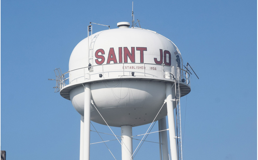
The Saint Jo City Council will meet at 6 p.m. on May 13 in regular session.
Items on the agenda include:
Appointment and approval of a fire marshal for the city.
Discuss support for Councilman Jack Dunn’s proposition to petition for additional sales tax revenue from the state for infrastructure purposes.
Consider dates for the 2026-27 budget workshop and ordinance workshop.
Approve minutes and monthly financials.
SEVERE THUNDERSTORM WATCH OUTLINE UPDATE FOR WS 193
NWS STORM PREDICTION CENTER NORMAN OK
9:05 PM CDT FRI MAY 8, 2026
SEVERE THUNDERSTORM WATCH 193 IS IN EFFECT UNTIL 2:00 AM CDT FOR THE FOLLOWING LOCATIONS
TEXAS COUNTIES INCLUDED ARE
COLLIN
COOKE
DELTA
DENTON
FANNIN
GRAYSON
HOPKINS
HUNT
JACK
LAMAR
MONTAGUE
WISE
YOUNG
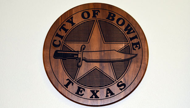
The Bowie City Council will meet at 6 p.m. on May 12 in the council chambers.
The agenda opens with a proclamation for Emergency Medical Services Week.
In the city manager’s report, Bert Cunningham will discuss the Rock and Pillar Street project and the Texas Water Development Board grant application.
In new business, Brittany Barnes will be considered as an appointment to the Bowie Community Development Board.
A resolution requesting financial assistance from the TWDB authorizing the filing of an application for assistance will be reviewed.
The master parks plan also will be presented by staff from Public Management.
The consent agenda and public comments round out the meeting.


-

 NEWS2 years ago
Suspect indicted, jailed in Tia Hutson murder
-
 NEWS3 years ago
2 hurt, 1 jailed after shooting incident north of Nocona
-
 NEWS3 years ago
SO investigating possible murder/suicide
-

 NEWS3 years ago
Wreck takes the life of BHS teen, 16
-

 NEWS3 years ago
Murder unsolved – 1 year later Tia Hutson’s family angry, frustrated with no arrest
-
 Show us something good9 years ago
Country music star children perform in Bowie
-
NEWS3 years ago
Sheriff’s office called out to infant’s death
-
 100th Birthday4 years ago
Looking back at the 1958 Centennial edition of The Bowie News